This search will return exact matches only. For best results:
Please note that only low-res files should be uploaded. Any images with overlay of text may not produce accurate results. Details of larger images will search for their corresponding detail.
Drag file here
Upload
Processing search results
Waiting for update..
Error:
Search by Color
Choose your Colors
Add up to 5 colors and slide the dividers to adjust the composition
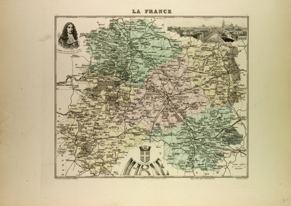
Beschreibung des Reichs der Liebe, mit beygefugter
Author: Breitkopf, Johann Gottlob Immanuel /
Leipzig, 1777
Language: German
Source/Shelfmark: 116.l.31, foldout
A German map.
Image taken from Beschreibung des Reichs der Liebe, mit beygefugter Landcharte. Ein zweyter Versuch im Satz und Druck geographischer Charten, durch die Buchdruckerkunst, von J. G. I. B. [Signed: Johann Gottlob Immanuel Breitkopf.].
Originally published/produced in Leipzig, 1777.
Photo credit
From the British Library archive / Bridgeman Images